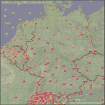
ماهان جان بیشینه و کمینه فردای ماگدبورگ مثل هوای این روزهای مشهده
سلام نوید جان. پارسال فقط دو روز چنین هوایی داشتیم. تازه کمینه در هیچ روزی از 19 بالاتر نرفته در 2 سال گذشته! احتمالن این موج گرما قراره رکوردشکن بشه! الان سیانان داشت در مورد این موج گرما صحبت میکرد! برای روزهای بعدش بارش شدید، هم پیشبینی شده و اخطار سیل صادر شده!
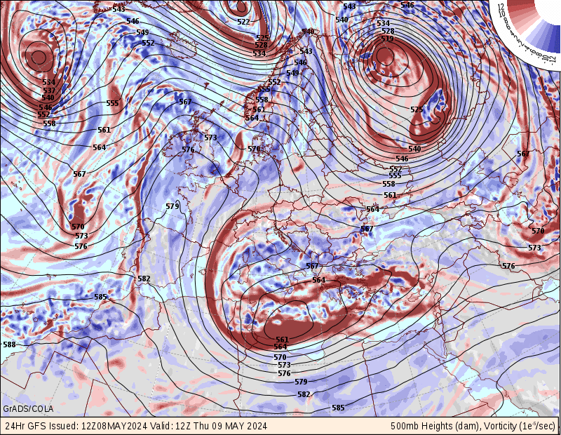
نقشه تراز میانی فردا!
این پیشبینی هفته پیش بود. اما موج گرما قسمتهای بیشتری از غرب اروپا رو قراره در بر بگیره!
A change to unseasonable warmth is expected to begin this weekend and continue through much of next week for eastern Europe.A strong upper-level low pressure dropping southward into Spain will force a ridge of high pressure to build over eastern Europe.The upper-level low will sit and spin over Spain and France for much of the week allowing the ridge to strengthen and produce a heat wave for parts of southeast Europe.
The core of the heat will build from Hungary and Serbia into Romania and Bulgaria leading to a heat wave. Temperatures will in these areas will be 10-20 degrees above normal.Some major cities that will be impacted by this heat wave include Budapest, Sofia, Belgrade and Bucharest.The only escape from this heat will be spotty afternoon thunderstorms that develop over the higher terrain of the region. A few of these storms will drift into the lower elevations, but most areas will just remain dry and hot.On the flip side, a cool and wet week is expected across western Europe as the upper-level low brings several days of rain from Spain into France.During the second half of the week, the stormy weather will shift into areas from eastern France to the Germany and the Baltic states.Depending on the exact track of the storm, locally heavy rainfall could fall over areas recently impacted by record flooding in central Europe. Anyone in this region should closely monitor the situation, as renewed flooding could occur.


