[h=2]Waves of Arctic Air into Next Week
[h=6]By
Alex Sosnowski, Expert Senior Meteorologist [h=5]January 18, 2013; 6:08 AM
More Sharing ServicesShare |
Share on ******** Share on myspace Share on google Share on twitter
One batch of Arctic air was invading New England Thursday, while another wave of cold air will drive farther to the south next week.
Additional waves of cold air are in store, much unlike last year during the same time for portions of the Plains and East.
According to Long Range Weather Expert Jack Boston, "We expect to see more aggressive waves of cold air driving farther southward over the next several weeks."
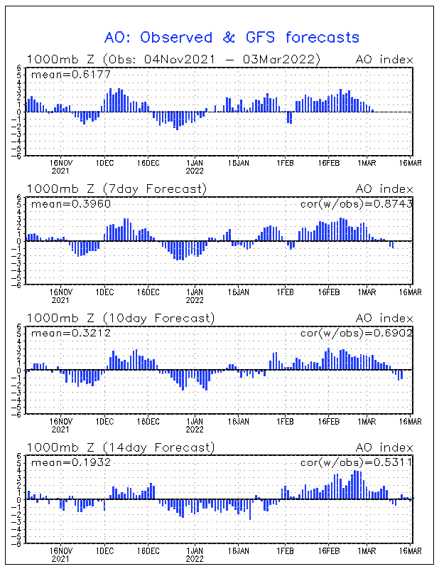
A couple of weeks ago an event called sudden stratospheric warming occurred near the North Pole. The phenomenon typically sets into motion a chain of events that drives waves of arctic air into the mid-latitudes.
The chain reaction takes up to a couple of weeks to transpire, but the lingering waves of arctic air produced by the process can last for weeks.
"The core of the arctic air will be directed over the North Central and Northeastern states, as well as neighboring Canada, but significantly colder air could reach into the southern Plains and part of the southeastern U.S. during the first part of February," Boston said.
The first batch of arctic cold will be a brief one over the northern tier. Because of its forward speed and cloud cover accompanying it the region is unlikely to experience phenomenally low temperatures.
Longer-lasting cold is possible from the Upper Midwest to a large part of the Northeast beginning next week.
This could mean below-freezing temperatures for an extended period from the Upper Midwest to the central and northern Appalachians; something which much of the area has not experienced for a few of years.
A long-standing streak of days with high temperatures greater than or equal to zero degrees Fahrenheit in Minneapolis/St. Paul may be broken during this Sunday or Monday. As of January 17, 2013, there have been 1,463 days (4 consecutive years) with high temperatures at or above zero. The last time the high was below zero was on January 15, 2009. According to the
National Weather Service, there have been multiple winters where high temperatures have been above zero every day. These date back to the middle 1800s.
Depending on how this cold interacts with a zone of high pressure over the Atlantic Ocean, it may not just be a dry flow of air from Canada, but perhaps a stormy pattern for parts of the South and the East.
The high pressure area in the Atlantic has been a key player in holding up the cold air in the East and producing a series of storms from the Gulf Coast to the Northeast in recent days. The high could continue to truncate or lessen the cold air's drive into Florida.
It is for this reason the original AccuWeather.com Winter Forecast of
near- to above-normal snowfall is still in the running from the southern Appalachians to the coastal mid-Atlantic.
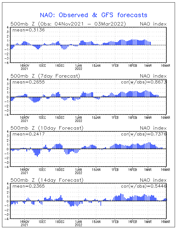
The overall pattern is changing to one that generally favors warmer weather in the West and colder weather in the East for the latter part of the winter.
Thumbnail images by Photos.com.


